lazetool
Useful tools you can open and use — nothing to install, no sign-up first
Two photo tools run on my own GPU and never hand your photo to a third-party AI; three lookup tools turn Taiwan government open data into something you can click, search and compare, each with its limits stated. All free.
Tools
 Old Photo MotionTurn an old family photograph into a 6-second clip that blinks and smiles.Own GPU · no third-party AI · deleted after 7 days
 age-meUpload a front-facing photo and see the same person older, or younger.Own GPU · photo never handed on
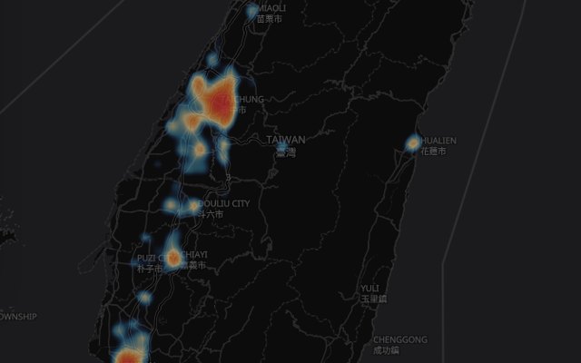 Road Accident HeatmapChinese onlyNearly a million casualty accidents from open police data, drawn as a heatmap.Police open data · ~1M accidents · updated monthly
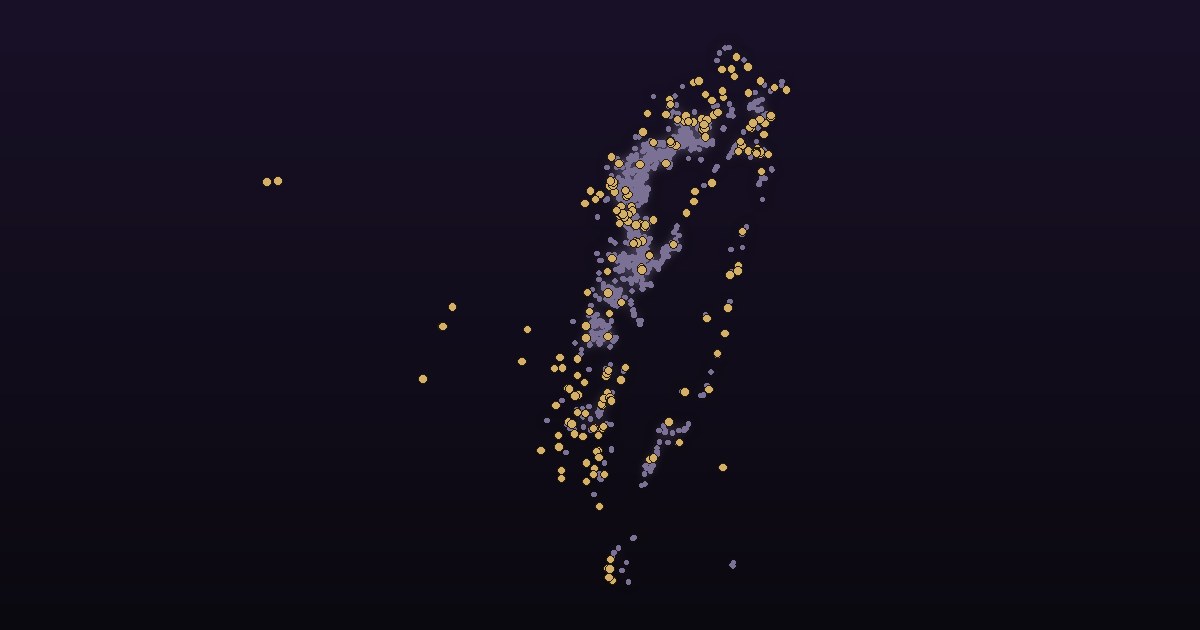 Campsite Legality CheckChinese onlyCheck any campground in Taiwan against the official list: compliant, in violation of which act, or not listed at all.Tourism Administration data · 1,807 sites
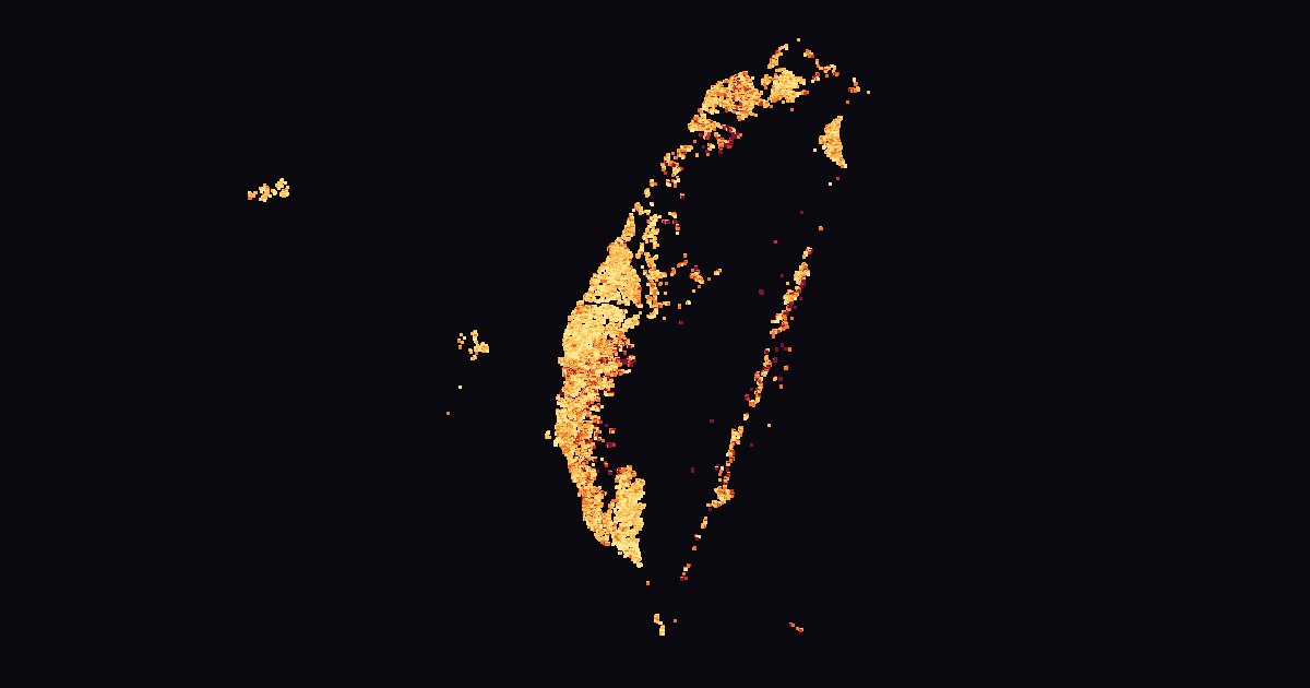 Flood Potential MapChinese onlyTaiwan's official flood potential maps, made clickable: pick a rainfall scenario, tap for the depth under all ten, compare townships.WRA potential maps · 10 scenarios · 368 townships
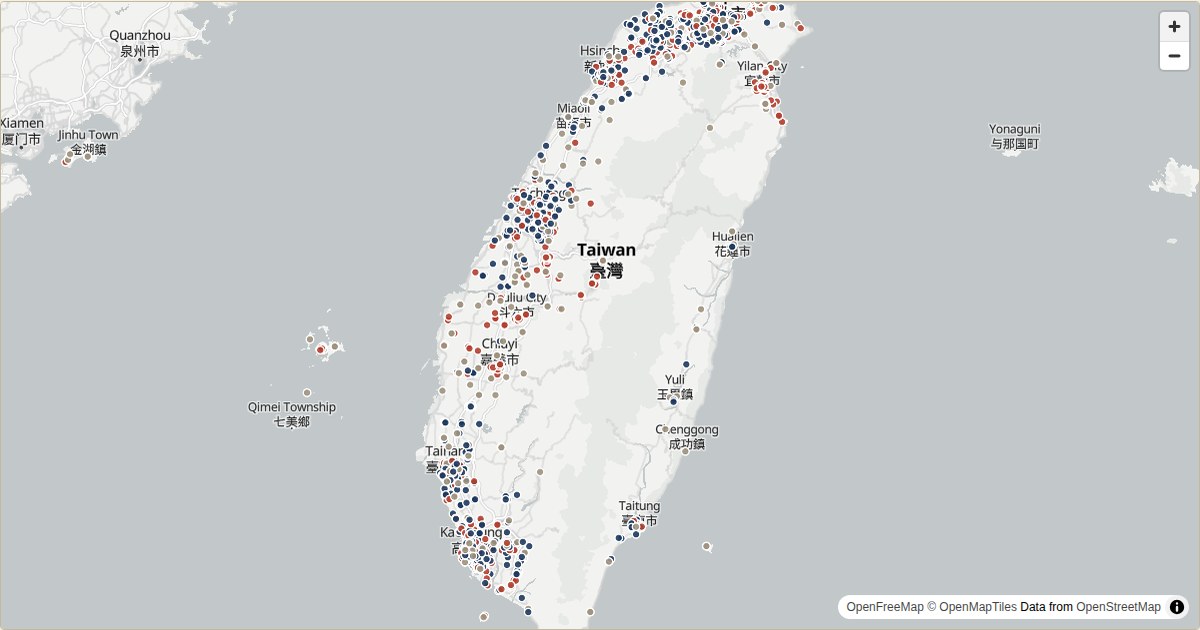 Taiwan Lost Property SearchChinese onlySearch Taiwan's police daily lost-property notices by keyword, date, county and district, on a map.Police open data · updated daily
 Find My PetChinese onlyTaiwan's lost & found pets on a map: official reports updated daily, free listings even without a microchip, sighting reports without login.MOA open data · daily · sighting reports
Where the photo tools run
Most "AI tool" sites are a thin wrapper around somebody else's API: your file goes somewhere you cannot see, and the service disappears the moment the upstream price changes. The two photo tools here (Old Photo Motion, age-me) do the opposite — the model runs on our own GPU, files stay on our own disk, and the retention and deletion rules are written down in each tool's privacy policy and actually followed.
- GPU NVIDIA GeForce RTX 5070 Ti, 16 GB of video memory
- RAM 62 GB
- Model MiniMax H3 image-to-video, int8 quantised, with a turbo4step LoRA that cuts sampling to 4 steps
- Time per photo a steady 42-45 seconds (the first one after an idle spell takes longer, because the model has to be loaded back into video memory)
One GPU does one thing at a time, so at busy moments there is a queue. The position shown on screen is the real one.
Where the data tools' data comes from
The accident heatmap uses the National Police Agency's casualty-accident open data (monthly, close to a million records); the campsite check uses the Tourism Administration's nationwide campground list (quarterly, checked daily here); the flood map uses the Water Resources Agency's third-generation flood potential maps. None of them uploads anything, and each has a "source and limitations" page saying which conclusions the data supports — accident data cannot rank "the most dangerous junction", and flood potential is a simulation, not a forecast.
Where the money comes from
The hardware was already here; the main cost is electricity. The site carries Google ads and that is the only income, which at the moment does not even cover the power bill. The free allowance has not been turned into "pay or go away" because these tools were built for my own use first; letting others use them costs only the electricity of those seconds. If it ever stops being sustainable I will say so here rather than quietly degrade things.
Frequently asked
Do these tools cost anything or need an account?
No. Every tool works as soon as you open it; the two photo tools have a daily free allowance, and an account (also free) is only needed to go beyond it.
Will my photo be used for training?
No. The two photo tools run on my own GPU with no training or fine-tuning step; your files never enter a training set and are never handed to a third-party AI service.
How long are photos kept?
Old Photo Motion deletes both the upload and the result after seven days; age-me states its own rule in its privacy policy. The data tools never upload anything.
Where does the accident, campground and flood data come from, and how often is it updated?
All from Taiwan government open data: police accident records (monthly), Tourism Administration campground list (quarterly, checked daily), Water Resources Agency flood potential maps (reviewed every five years). Each tool has a "source and limitations" page.
Can I use this to rank the most dangerous junctions or flood-prone spots?
Not advisable, and the pages deliberately do not. Accident coordinates carry geocoding error and flood potential is a simulation, not a record; each tool's limitations page explains.
Why are the photo tools sometimes slow?
One GPU handles one job at a time. If somebody is ahead of you, you queue and the page shows where you are; the first job after an idle period is slower because the model must be reloaded.
Could the site just disappear?
It runs on a machine at home and comes with no service-level guarantee. Download what you make and keep your own copy.
Notes
The numbers measured while building these tools, and the mistakes found on the way, are written up in the notes (in Chinese): power use per image, a day of scans on a fresh domain, the pitfalls in the accident data, how the flood map was gridded, and what the campground list does and does not say.
- 同一個地點多出三十隻走失貓狗,深入調查之後,答案讓人意外
- 把警政署每天公告的失物做成能查的地圖:品名藏在一句公文裡、地點只有文字
- 42 秒的宣傳片,沒開過剪輯軟體:用 AI 逐幀拍一張會動的地圖
- 把農業部的走失寵物資料做成地圖:門牌怎麼定位、個資怎麼藏、沒晶片的毛孩怎麼辦
- 把水利署淹水潛勢圖做成能點的地圖:資料長怎樣、我算出哪些數字、哪些話不能說
- 全台 1,807 家露營場只有 203 家合法:把觀光署的名單做成能查的工具,以及查證過程中發現我寫錯的一句話
- 在家自架 GPU 跑 AI 模型:RTX 5070 Ti 的實測數字與代價
- 為什麼你上傳的照片不該留在雲端:一天被掃描 417 次的實際紀錄
- 一張靜態照片怎麼變成 6 秒循環影片:實作細節與踩過的坑
- 把一支影片的生成時間從 80 秒壓到 43 秒:每一個試過的做法與實測數字
- 把一百萬件交通事故畫成地圖:六個做錯之後才發現的坑
Still building
More small tools will appear on this domain, all under the same principles. If there is something you would like to see, tell me.